
Imaging & Media
Cinematic aerial capture for screen, brand, and property.
- Film Services
- Real Estate


Full-service drone company
Cinematic aerial photo & video, precise inspections, and survey-grade mapping — for residential, commercial, and public-sector clients alike.
Flights logged
Cinema-grade capture
Survey accuracy
Quote turnaround
Who we fly for
From a single home listing to a multi-site survey program — the same licensed, insured team, scaled to the job. Pick where you fit to start a quote.
What we do
From cinematic media to survey-grade data, drone-based maintenance, and public-sector support — one licensed, insured crew.
Selected work
A cross-section of recent flights — listings, build sites, surveys, inspections, and events captured from above.
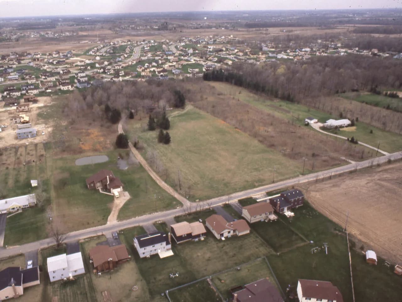
Hillside Estate Listing
Full-property aerials for a premium listing.
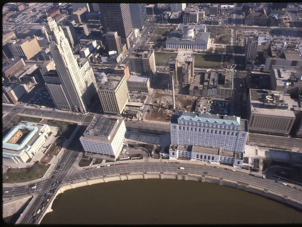
Downtown Mixed-Use
Context and approach shots for a CRE portfolio.
Garden Home Showcase
Overhead and twilight frames for a single-family home.
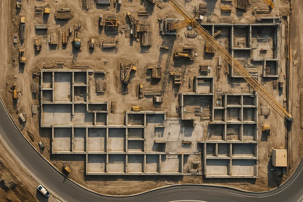
Foundation Pour · Progress
Top-down progress capture across an active build site.

Parcel Orthomosaic
Survey-grade orthomosaic for site planning.
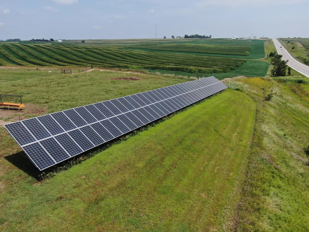
Solar Array Audit
Inspection pass across a utility-scale array.
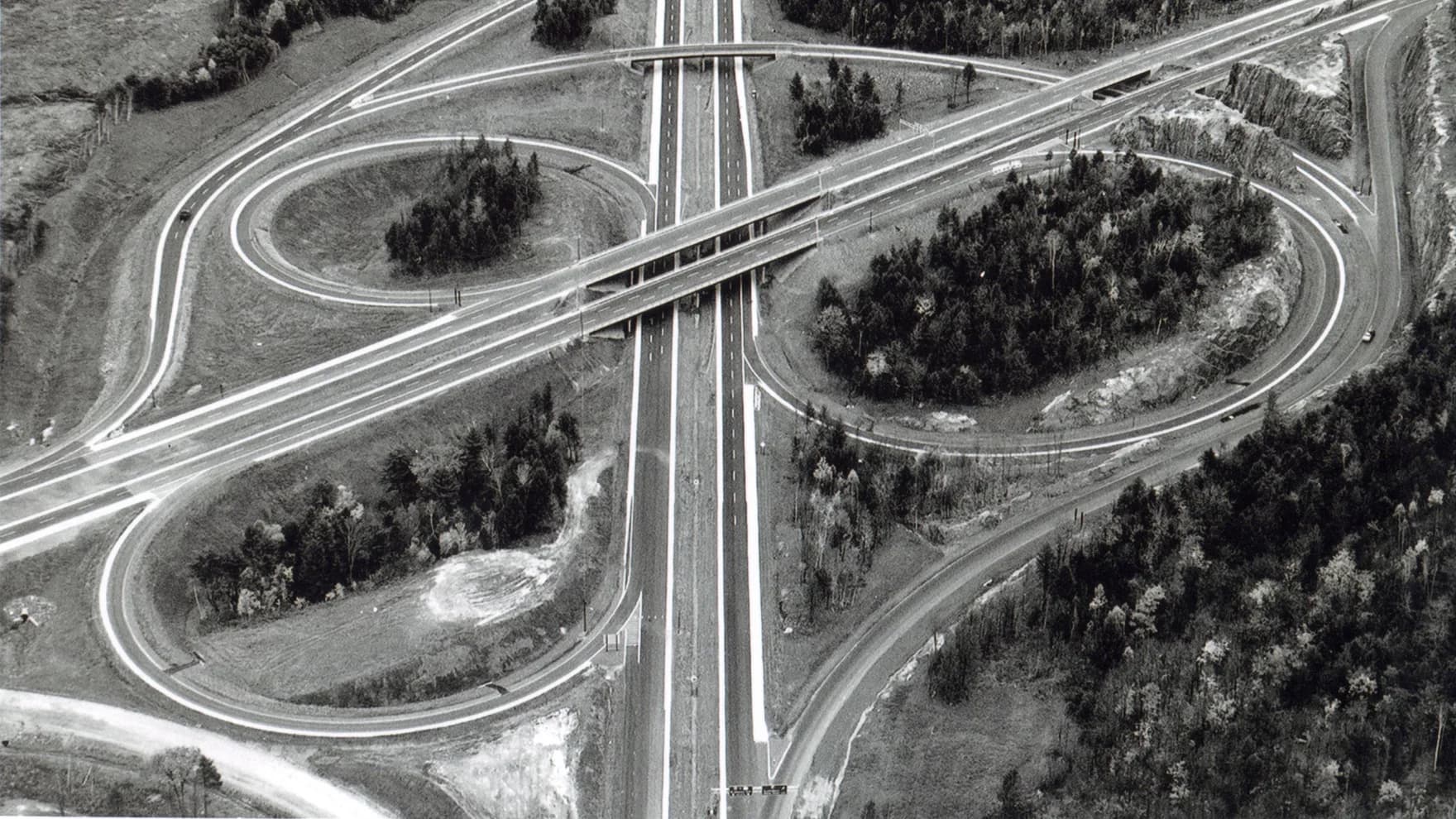
Interchange Survey
Corridor documentation for a roadway review.

Turbine Inspection
Close-range blade inspection — no shutdown required.
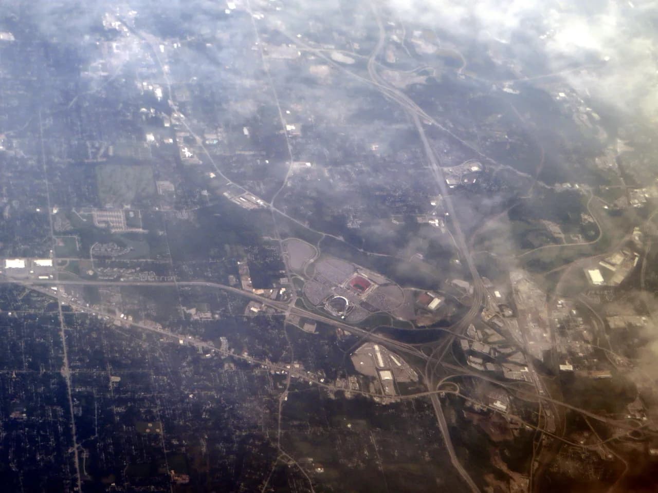
Stadium Event Coverage
Opening-day aerials for a regional venue.

Cropland Field Survey
Field-boundary and crop-health mapping across the property.

Open-Pit Volumetrics
Bench mapping and stockpile volumes across an active pit.
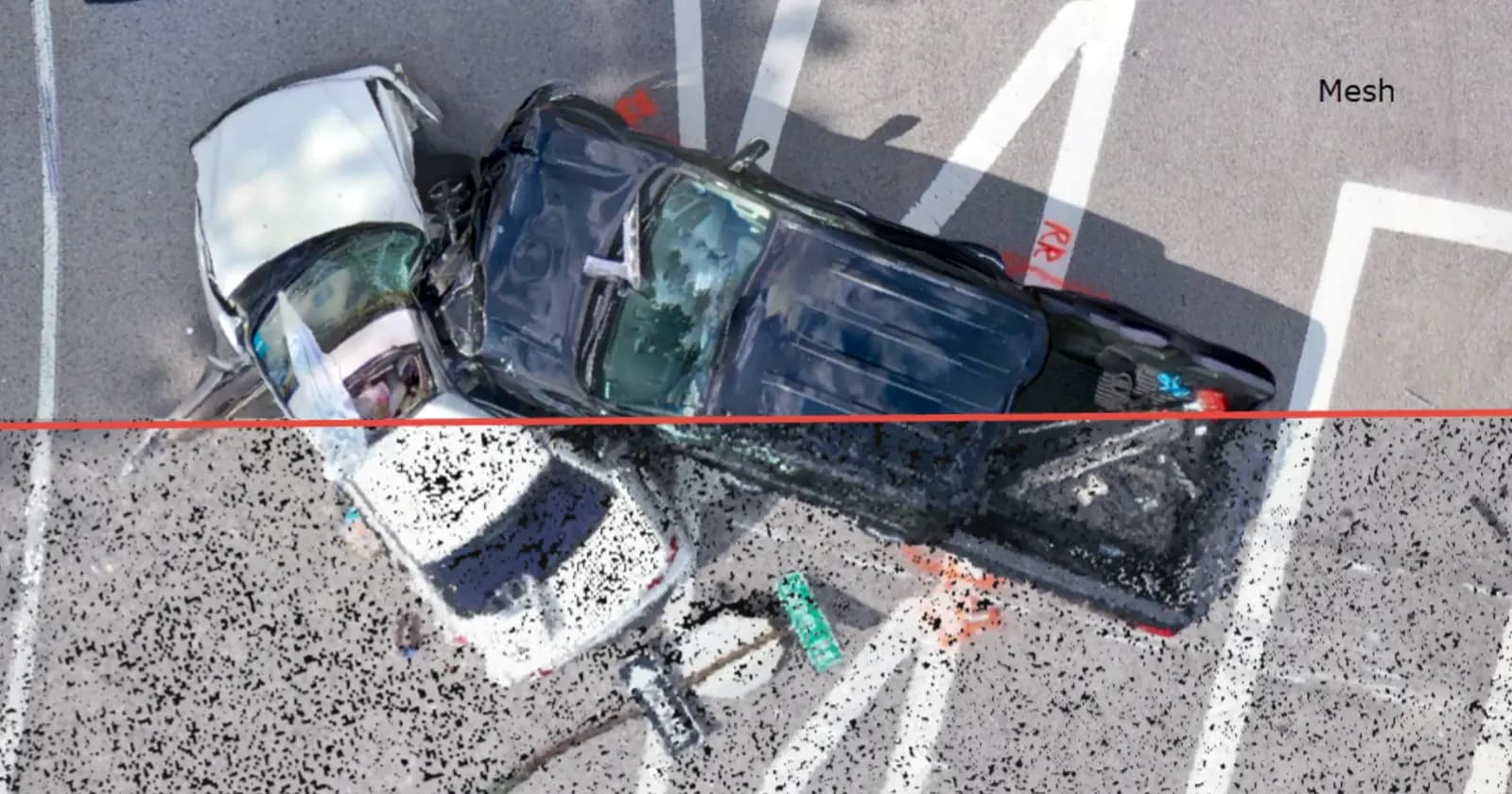
Collision Scene Mapping
Photogrammetry mesh of an incident scene for reconstruction.
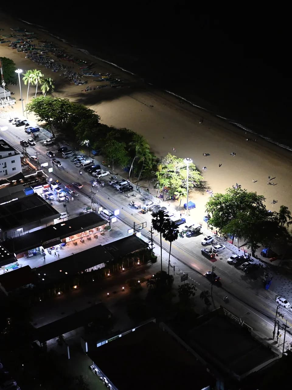
Coastal Resort Feature
Hero film and stills for a beachfront property.
The gear behind the work
Equipment and platforms we use: DJI, Lucid Bots, Pix4Dmapper, Pix4Dmatic, Pix4Dcatch, Pix4Dcloud.
Tell us what you need and where, and we'll put together a tailored quote — usually within one business day.


